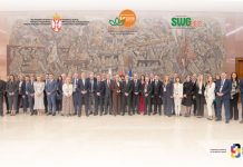
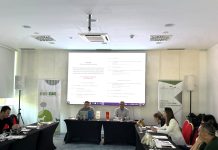
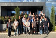
The GEO-ADAPT Summer School offered an inspiring opportunity to explore how geospatial technologies can strengthen wildfire monitoring and climate change adaptation across the Western Balkans. The programme combined scientific expertise with practical learning, helping participants better understand how satellite data and digital tools can support prevention, preparedness, and response.
Practical Training and Knowledge Exchange
- Satellite image analysis for active fire monitoring
- Burnt-area mapping and change detection
- Wildfire risk assessment and modelling
- Remote sensing and Google Earth Engine
Expert lectures, scientific presentations, field visits, and group discussions encouraged an active exchange of knowledge and experience. Participants also gained insight into wildfire management initiatives across the region and considered opportunities for stronger cooperation among institutions, researchers, and practitioners.
Key Takeaways
A key takeaway was the broad role that satellite centres can play in wildfire management. Their work can include mapping high-risk areas, building statistical datasets, estimating damage, identifying possible fire origins, forecasting fire spread, tracking land-use change, and improving predictive models. Satellite-based services can also support fire calendars, public communication, regional data networks, institutional cooperation, capacity building, and the exchange of effective prevention and response practices. The discussions additionally highlighted the importance of maintaining operational platforms and deepening regional cooperation as climate change continues to increase wildfire risk.